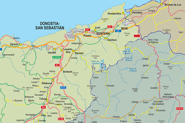
1- Euskal Herria map
Digital map at a scale of 1:300,000 of the 7 provinces that make up the Basque Country, with administrative boundaries, towns, road network, railway network, main rivers and lakes.
Files are downloaded in vector format, 100% editable and... Read more
Adobe Illustrator, Acrobat PDF
